GR 10 Hendaye - Angles-sur-Mer (Pyrenäen) 830 km

39 Ax-les-thermes - Port de Pailhéres 22 km
Ax-les-thermes
Port de Pailhéres 22 km
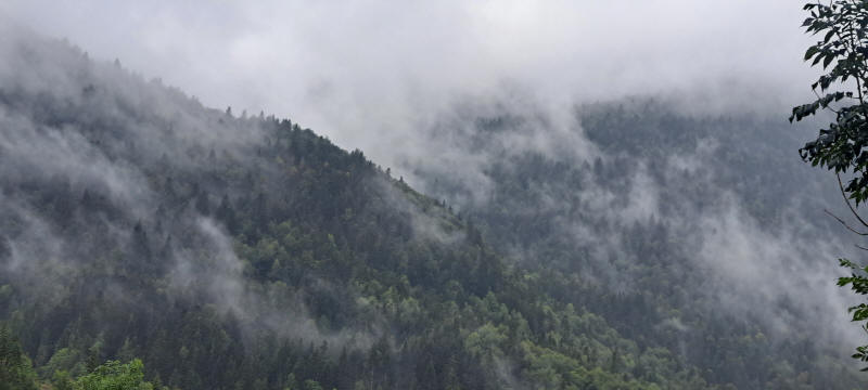
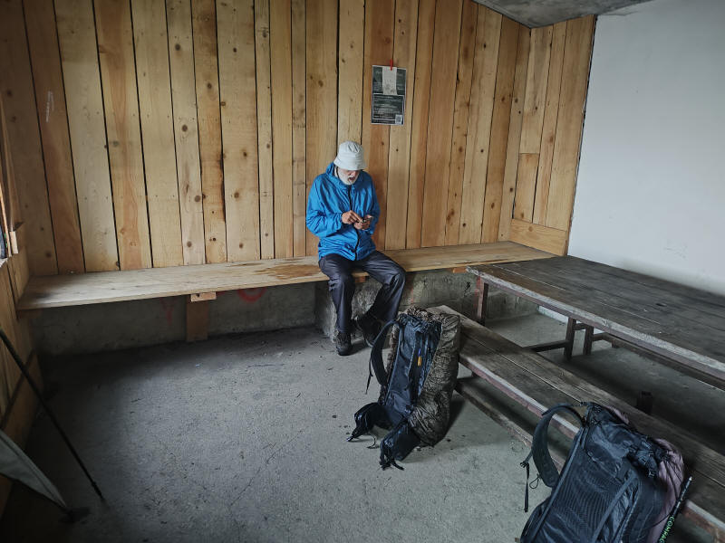
Der Weg begann mit einem steilen Anstieg und ging den ganzen Tag lang bergauf. Er verläuft parallel zur Straße D 25. Außer dem letzten Stück war der Weg verhältnismäßig gut zu wandern. Das letzte Stück zur Straße war schlecht und wurde ständig schlimmer. Schließlich kamen wir an einer Brücke über den Fluss La Lauze. Jetzt folgten wir der Straße bis zum Pass Port de Pailhéres. In dem letzten sehr schlechten Stück weg wurde auch noch das Wetter schlecht. Von nun an wanderten wir entweder im Regen oder in den Wolken. Je weiter wir hoch kamen um so schlechter wurde die Sicht. Als wir oben ankamen konnten wir kaum die steinerne Schutzhütte gleich neben der Straße sehen. Drinnen war es kalt aber wenigsten trocken. Wir assen zu Abend und legten unsere Schlafsäcke auf die Bänke in denen wir uns warm hielten.
Wir hatten uns gewrade eingerichtet als wir einen Besucher bekamen. Ein Mann trat ein und sprach mit uns eine Weile über unsere Wanderung. Dann ging er wieder raus in die Wolken. Einige Zeit später hielt ein Auto an der Straße und der Mann, jetzt zusammen mit seiner Frau, kam zurück in die Hütte. Sie hatten in der Nähe eine Berghütte gemietet und luden uns ein bei ihnen die Nacht zu verbringen. Gerne nahmen wir das Angebot an, packten unsere Sachen und wurde zu ihrem Haus gefahren. Hier hatten wir eine schöne warme Dusche, ein zweites Abendessen und unterhielten uns eine Zeitlang. Wir waren wirklich glücklich. Statt in dem kalten Platz in den Wolken hatten wir es warm und trocken. Vielen, vielen Dank.
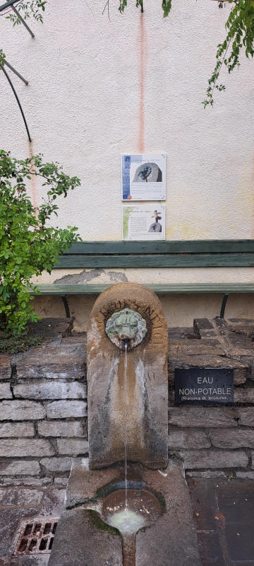
Brunnen in Ax-les-thermes
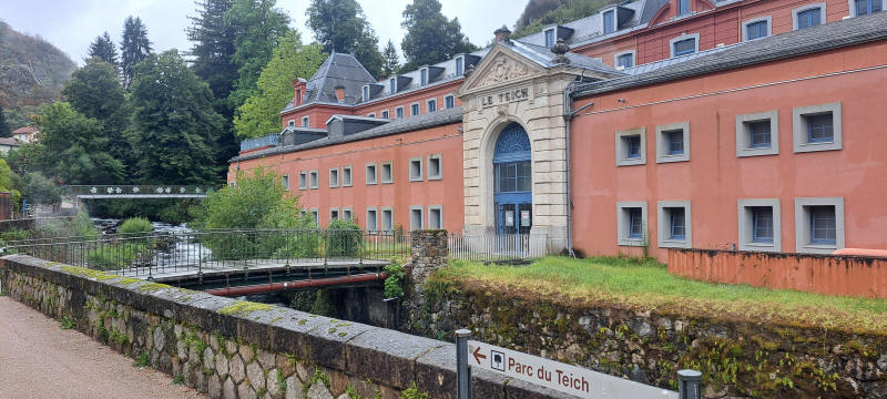
Thermen von Teich
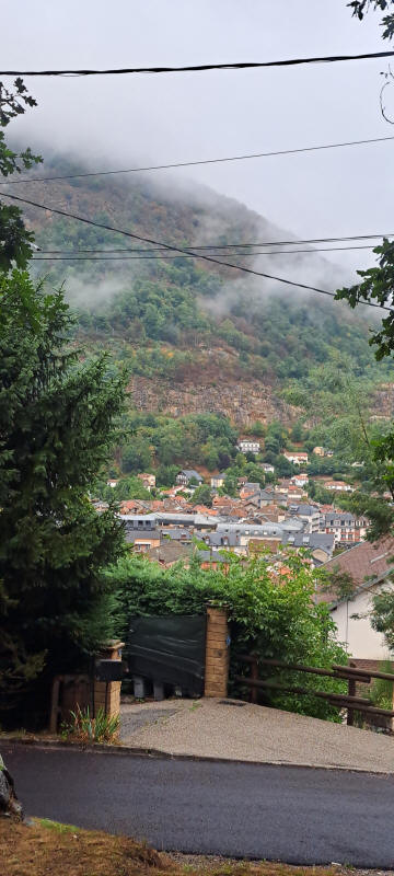
Blick zurück auf Ax-les-thermes
Bergauf in die Wolken
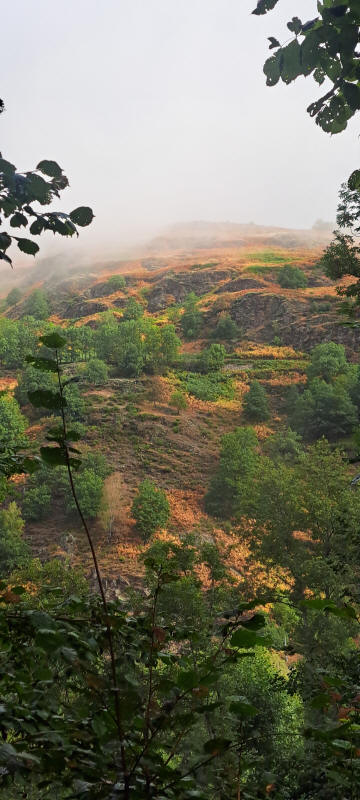
Die Sicht wurde langsam schlechter beim Aufstieg zum Port de Pailhéres
In der kalten Schutzhütte am Port de Pailhéres
© 2026 by Hamburger
Stand
05.06.2026
![]()