GR 10 Hendaye - Angles-sur-Mer (Pyrenees) 830 km
14 Bedous - Col d'Ayous 29 km
Bedous
Col d'Ayous 29 km
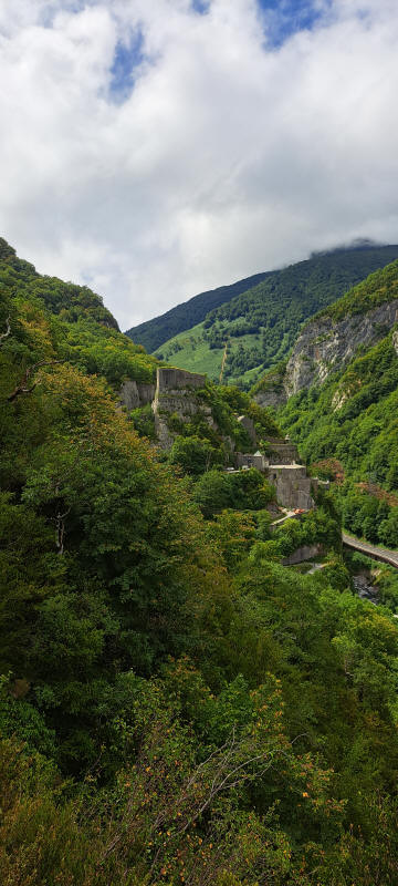
We started by taking the bus back to where we had come from yesterday. Here we followed the former railroad tracks along the river. The trail was in rather poor condition. A few times we wondered why we had not taken the road on the other side of the river. But we managed eventually. Along the trail we encountered two hikers with their dog. At the beginning of the community we came to an National Park of the Pyrenees information center which was closed. Soon after town we reached the Chemin de la Mature.
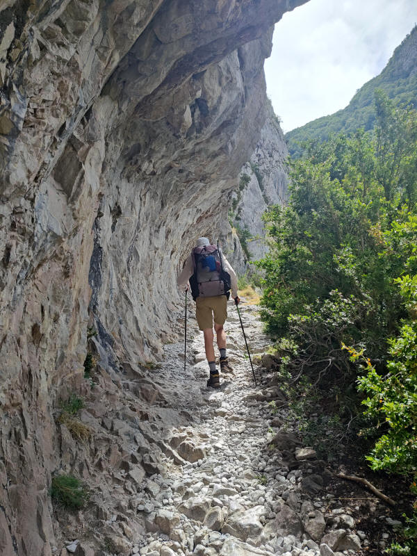
The trail is described in Wikipedia as follows: he Chemin de la Mâture is a 1,200-metre (3,900 ft) path cut into a sheer rock face rising over 200 metres (660 ft) above the river Gave d'Aspe. Completed by the engineer Paul-Marie Leroy in 1772,[2] the Chemin de la Mâture (literally "The Mast Road") was originally created to transport timber from the nearby Pacq forest to be used in constructing masts for French naval vessels.
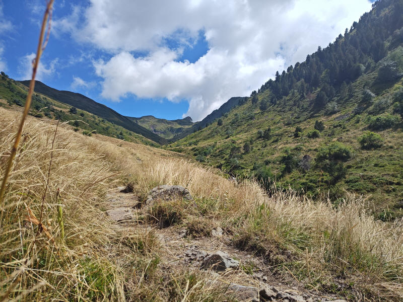
It turned out to be a nice trail and was not difficult to walk. Once past the cliff it became a long all day climb. Again against the weather forcast we had hardly any rain. After searching for a while we finally found rather late a reasonable spot for the night.
Fort du Portalet
Chaussee de la Màture was cut into the mountain face
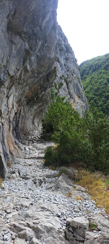
A warm day following Chemin de la Mâture
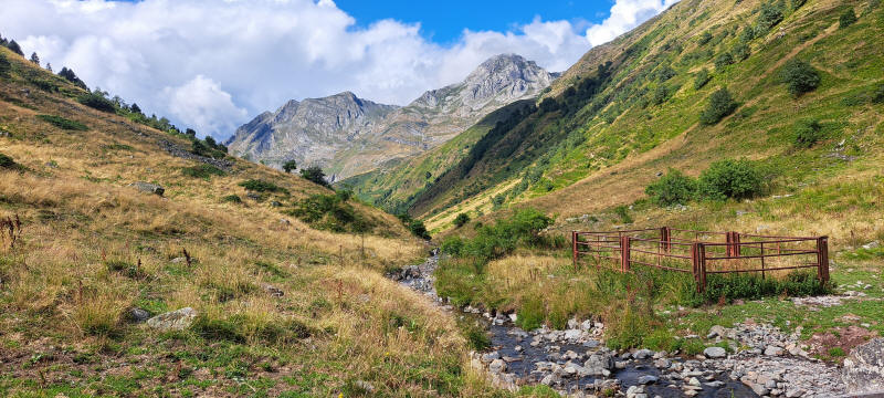
On our way to Cabane de la Baigt de Saint-Cours
Cromlech de la Baigt- Saint-Cours