Appalachian Trail (AT)

13 Maine 282 miles / 451 km
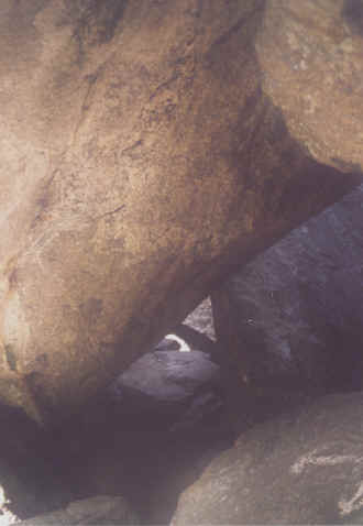
Soon after entering Maine which is the most northern state along the AT I had to climb through Mahoosuc Notch. The AT passes over and under boulders through this pass. This is done for several miles. Sometimes I had to take of my back pack. It was very slow progressing. I learned that year round there is ice in some of the holes.
I had pre arranged a pick up at East B Hill Road for a ride to Andover. The car was already waiting for me when I arrived. This was the end of my second last section. The following year I arrived by Greyhound Bus from Boston at Pinkham Notch in New Hampshire. This gave me the "pleasure" to climb through Mahoosuc Notch a second time. It did not seem to be as challenging as the first time.
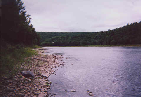
Kennebek River is crossed in a canoe. A white blaze is painted inside the canoe to make it an official part of the trail so that no one tries to wade through. Upstream is a dam that releases water unannounced. Several years ago a female hiker drowned while wading. Being in America a waiver releasing the canoeist of any responsibility must be signed.
Here in Maine is to be crossed the Hundred Mile Wilderness. The wilderness part of the word does not really apply anymore. The trail is a narrow corridor flanked on both sides by commercial forests. And half way through it crosses a forest road.
Then I arrived at Gulf Hagas Gorch. Some people think of it as the Grand Canyon of Maine. It is quite nice but I was not really impressed.
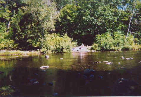
In Maine I got wet feet a few times. Here I encountered the only creeks I had to ford.
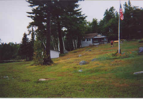
A nice change is White House Landing. About a mile of the AT I arrived at a boat pier. Here I had to activate a fog horn. Soon a motor boat came speeding from the other side of the lake. It transferred me to the hostel where I had a hamburger with a pound of meat. While having lunch a very heavy shower arrived. The owner even allowed us to take our packs inside. I staid for the night and had a pizza for dinner.
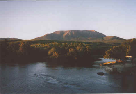
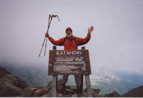
Two days short of finishing my hike campers at Abol Bridge campground gave me their tent for the night. That was nice trail magic. Next day I continued to the last shelter, The Birches. Nearby Indians had occupied the day use area for a festivity and I could watch. Then it was time to climb Mount Katahdin. I could leave my back pack at the ranger station and instead use a light day pack. We had been four hikers over night. The other three had left while it was still dark. When arriving at the end of the trail I was mostly in the clouds. Luckily some day hikers arrived too. This way I got my photos from arriving at my destination. Upon returning at the ranger station I got a shuttle from the owner of the hostel in Millinocket to take me there.
Now I had completed the Appalachian Trail from Springer Mountain to Mount Katahdin.
Climbing under and over boulders at Mahoosuc Notch, Maine
Kennebek River is crossed by canoe, Maine
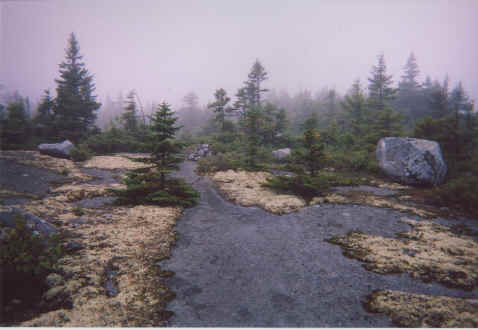
Middle Mountain, Maine
Fording of West Branch Pleasant River, Maine
White House Landing, Maine
View of Katahdin from Abol Bridge, Baxter State Park, Maine
Northern terminus of Appalachian Trail, Mount Katahdin, Baxter State Park, Maine
<< New Hampshire << >> Return to Overview >>
© 2016 by Hamburger
Last updated on
01.12.2022
![]()