Pacific Crest Trail (PCT)
12 Kennedy Meadows - Independence 94.3 miles
Kennedy Meadows
Crag Creek 6.5 m
Olancha Peak Saddle 15.0 m
Diaz Creek 18.5 m
Rock Creek 18.5 m
Tyndall Creek 14.2 m
Onion Valley 21.6 m
Independence
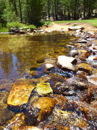
Arriving at Kennedy Meadows meant that I had finished the hot Southern California section. In any normal snow year I should not start before middle of June to enter the Sierra Nevada with passes up to 13.000 ft. But in 2012 everything was different. Previous winter there was only about 30 % of average snow fall. This supposedly meant the snow fields on northern slopes of the High Sierra passes did basically not exist. Additionally we were told that creeks and rivers were currently at low end of August / beginning of September water levels. And both turned out to be true. The first two days were still in relatively level country before the real climbs started. The PCT changed now. So far it was mostly sandy. Now it became constantly rockier.
I did not climb Mount Whitney. It is the highest mountain in the lower 48. But it is not part of the PCT and I felt I had enough view points. And I still had to hike so many miles. And finally I had skied at higher elevations in Bolivia.
The first pass to be crossed is the highest point of the total PCT. The climb to the pass was completely free of snow. Even the last bit crossing the chute could be passed on the trail without walking across any snow. There was a fantastic view from the top. And the northern descent was as good as snow free.
Making good miles I decided to continue towards Kearsarge Pass to get to Independence. Other hikers gave me a description of the trail and the time they needed. It sounded good so I wanted to try to get across a second pass today. From the top of the pass it continues down towards Independence. I made it just short of using my head lamp and arrived at the camp ground Onion Valley. There was trail magic again. Next morning I had breakfast and then a shuttle into Independence. Here I wanted to spend a night at a Motel. My resupply package was already waiting for me at the local PO.
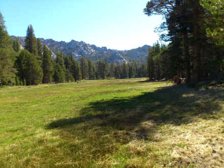
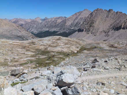
Meadows, forests and mountains, we are going up into the High Sierra.
Whitney Creek ford; most years with much higher water level
View of Mount Whitney
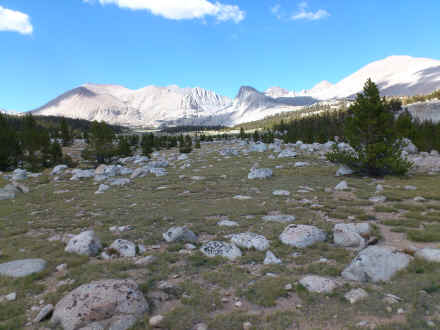
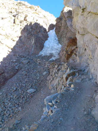
Last steps to the top of Forrester Pass at 13,153 ft highest point of PCT. Most years this part is totally covered by snow
Northern descent from Forrester Pass without any snow
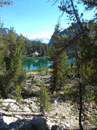
Bullfrog Lake on the way to Kearsarge Pass
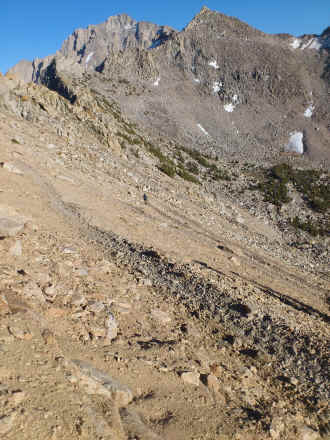
Ascent to Kearsarge Pass
<< Mojave << >> Vermillion Valley Resort >>
© 2016 by Hamburger
Last updated on
28.11.2022
![]()