Pacific Crest Trail (PCT)
16 South Lake Tahoe - Sierra City 103 miles
South Lake Tahoe
Lake Fontanillis 16.5 m
Granite Chief 23.5 m
Soda Springs 21.5 m
Near Jones Valley 23.0 m
Sierra City 18.5 m
Fortunately the
owner of the motel was willing to give us a ride back to the trail. This way we
arrived soon at Echo Lake. From here the PCT runs together with the Tahoe Rim Trail.
Here too the section hikers can easily be distinguished from us long distance
hikers. Their packs look a lot heavier and the hikers themselves look and
sometimes smell cleaner. For a while Lake Tahoe was on and off visible from the
PCT. At the same time the forest became more sparsely and the trail rockier.
Despite the warm temperature I made good progress. During the descent to Donner
Pass I met a fellow hiker whose husband was waiting for her at the pass. They
offered me a ride to Soda Springs. I spent the night at the local hostel which is mostly
visited by truckers. At the bar a local invited me to his house for dinner. That
was a very interesting evening. And then he offered to give me a ride back to
the pass very early next morning. This short unplanned side trip was really
worth it.
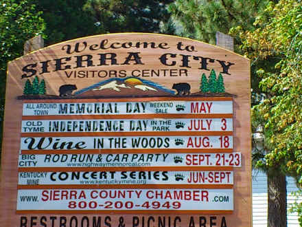
I arrived at Sierra City two days later. Of course this hamlet was located way down in a valley. I reached it on foot. I staid at the Red Moose Inn. Here I met a number of well known fellow hikers. Besides shower and laundry we got freshly made spare ribs. As by now common my food package was waiting for me.
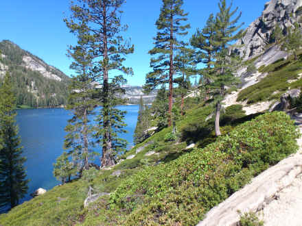
Echo Lake
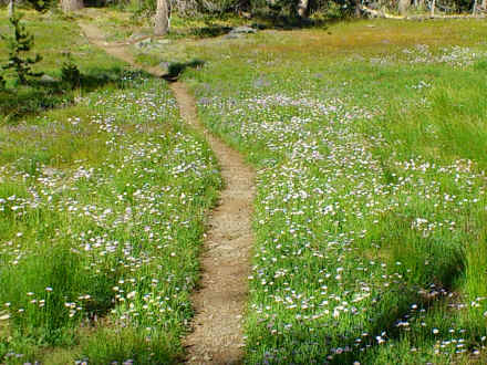
PCT passes through flowering meadow near Lake Gilmore
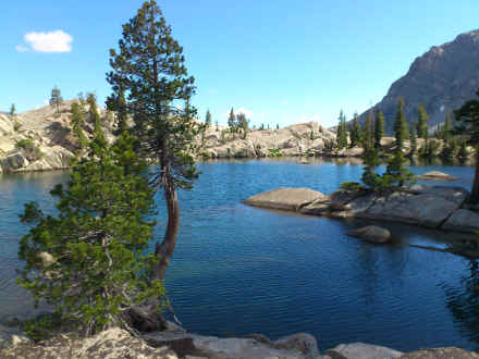
Lake along PCT in Yosemite National Park
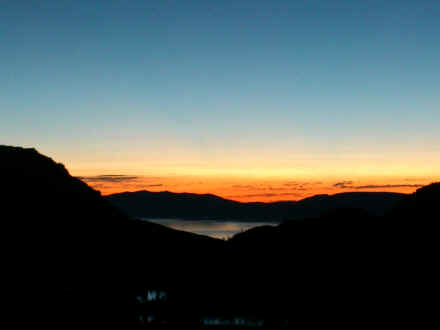
Sun set in Sierra Nevada
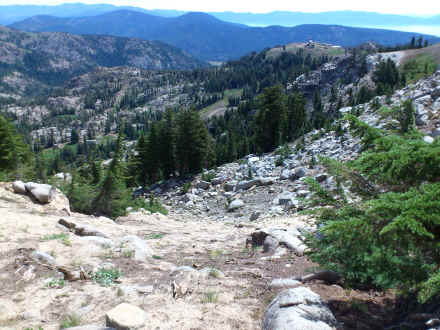
PCT passes ski area of former Winter Olympics site Squaw Valley
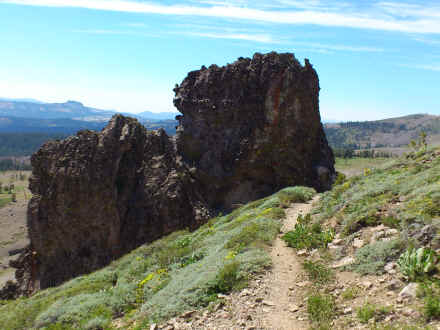
Many old volcanic eruptions are visible along the PCT
Visitor center announcement board of Sierra City
<< Tuolumne Meadows << >> Belden >>
© 2016 by Hamburger
Last updated on
28.11.2022
![]()