Continental Divide Trail (CDT)

19 Ennis - Whitehall 144 Kilometer
Ennis
Mac Allister
Mammoth
Cardwell
Whitehall 144 km
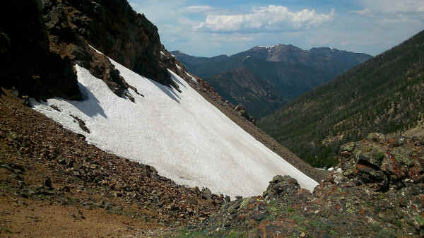
Before leaving Ennis early in the morning we had a good breakfast at the local pharmacy. Next to us was the local honorary citicenship discussing their activities on forthcoming 4th of July. We could not stay for the celebration and therefore walked along the highway to MacAllister. Here we turned left climbing slowly on gravel roads until we finally arrived in Forest Service land. Quite a number of 4th of July campers were out along the North Meadow Creek as well the South Willow Creek. We crossed two passes with remnants of snow. Considering that we were at up to 10.000 feet elevation this was not bad.
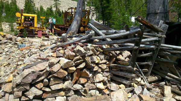
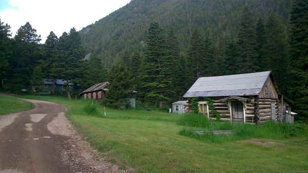
Coming down from the Nicholson Pass to Nicholson mine was only a faint trail and then a washed out road. It got hotter the further we came down the South Boulder River. On the way towards the Jefferson River, one of Missouris three headwaters, we passed through the former mining town of Mammoth. Arriving at Cardwell we spent the night at the local CG with ice cream. The temperature exceeded 90° Fahrenheit and mosquitoes were out in droves. Quite a change from the snow patches earlier on. Next morning took us with more highway walking into Whitehall for a Motel room and some town food.
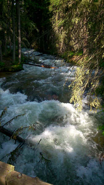
Crossing Meadow Creek in Tobacco Root Range
View from Nicholson Mine Pass into Boulder River valley
Remains of Nicholson Mine
Block houses in Mammoth
US Post Office in Cardwell

<< West Yellowstone << >> Helena >>
© 2016 by Hamburger
Last updated on
04.12.2022
![]()