Continental Divide Trail (CDT)

18 West Yellowstone - Ennis 132 kilometers
West Yellowstone
Ennis 132 km
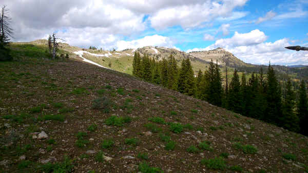
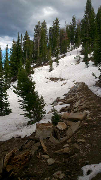
After drying out our wet stuff, resupplying and a good nights rest we headed up to Targhee Pass and went on to the new trail. Ley still shows it in purple but it should be followed by everyone in good to reasonable weather. It was build two years ago and has very good grades as it is used by mountain biker's too. When sitting at the top and enjoying the outstanding almost 360° view two bikers arrived at the top. After a long break and taking in the views we moved on to the pass near Targhee Peak. On the way up we ran into snow patches covering the CDT.
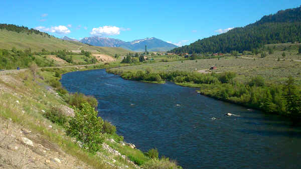
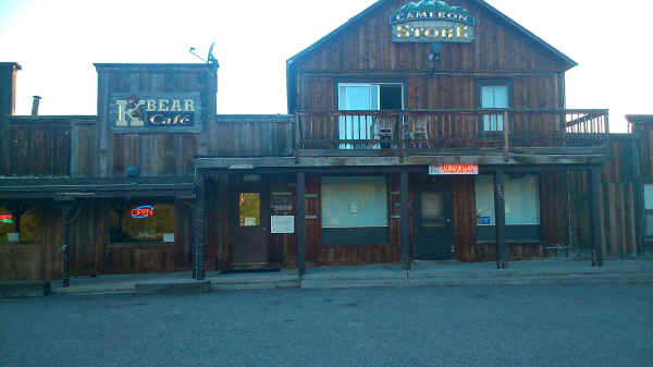
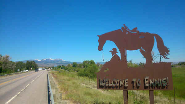
Endless switchbacks took us down from the pass to reach a level spot just when it got dark. Next day we followed the Mile Creek Trail out to highway Montana 87. From here on it was asphalt all the way to Ennis. All minor roads shown on all maps were blocked with no trespassing signs. There are a number of camping options at fishermen sites along Madison River. In the morning my sleeping bag was white from freezing. At the saloon and general store in Cameron we had very good spare ribs with sweet tea and country music. Next morning we continued road walking until we finally arrived in Ennis.
Ascent of Henrys Mountain with some snow patches
Snow covered CDT
Madison River
Cameron General Store
Welcome to Ennis
<< Old Faithful (Yellowstone NP) << >> Whitehall >>
© 2016 by Hamburger
Last updated on
04.12.2022
![]()