Continental Divide Trail (CDT)

26 Steamboat Springs - Grand Lake 133 Kilometer
Steamboat Springs
GrandLake 133 km
Following a large breakfast and some talking with a late season Northbounder I took the free bus in town to the last stop. From here on I had to hitch back to the CDT. After waiting for about 30 minutes I got a ride up to the pass. Even so I had read about the confusing naming of the pass I was not careful and dropped off too early. Some time of road walking later I finally arrived at Muddy Pass. From here it was Highway 14, another long road walk on a paved road. Finally I got to the forest road and could walk on dirt again. This section turned out to be very lonesome. Only on the first bit did I meet three other people. Then it became quiet. This was true for the sky too; no thunderstorms. The wind almost died down. Unfortunately some stretches of trail are ruined by motorcycles. It's hard to walk in the V shaped trail.
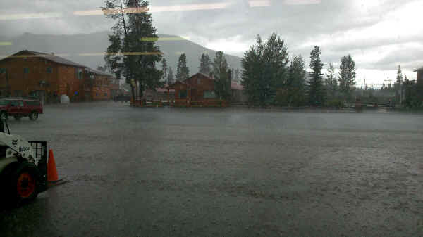
North of Illinois Pass the purple route on Ley's maps is not passable any longer. The Forest Service has closed the trail and cut a big wide ditch full of water. Before Bowen Pass I saw two big bucks with great antlers. And then at Bowen Pass I came back into civilization seeing the first hikers and a Forest Service trail crew. At night I had a big pizza in Grand Lake. Here I took a day of rest or at least not of hiking. While being inside the supermarket I weathered a heavy downpour. Lucky this was not while hiking.
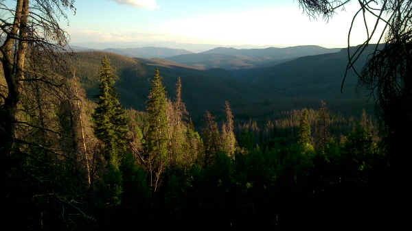
View from CDT along Rabbit Ears Range
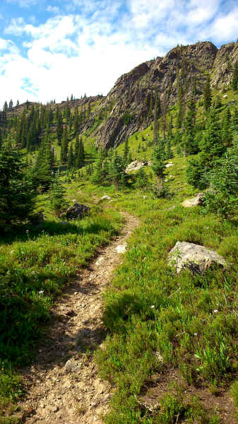
CDT in Rabbit Ears Range
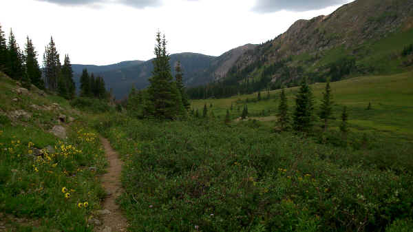
Another view of CDT in Rabbit Ears Range
Kawuneeche Valley in Rocky Mountain NP

Heavy downpour in Grand Lake
<< Encampment << >> Silverthorne / Breckenridge >>
© 2016 by Hamburger
Last updated on
04.12.2022
![]()