Continental Divide Trail (CDT)

27 Grand Lake - Silverthorne / Breckenridge 143 Kilometer
Grand Lake
Silverthorne / Breckenridge 143 km
The CDT out of Grand Lake is near the east shore of the lakes. However there is
a three to four mile long stretch of downed trees that has not been cleared since
2010. The alternative is road walking along the west shore. This is what I did.
At the ranger station at Monarch Lake I took cover during a heavy down pour.
Moving on I left all other hikers behind and was on my own again. The CDT was
mostly well marked. When arriving at Berthould Pass I could see the difference
since passing by by car in June. Instead of 1.5 meters of snow I could see only
green. All
snow had melted away. And of course I met many tourists. Leaving the pass it
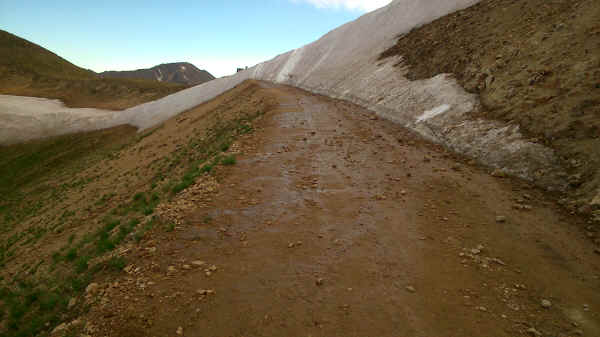
became quiet again. At Jones Pass in August I got a surprise. It was still closed by snow.
I had to climb across before heading down to Bobcat mine for the night. Before
getting up to Ptarmigan Pass I was stopped by another thunder storm. So I set up
camp in the final trees before continuing in the morning. Crossing Ptarmigan
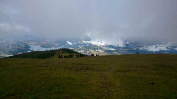
pass I could see clouds above and below me in the morning. What a view. The
trail down to Silverthorne is often missing and the little cairns are invisible
in the clouds. Work on a new electrical switch yard meant a detour ending at a
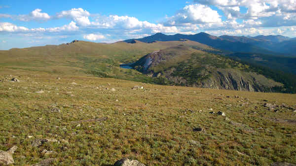
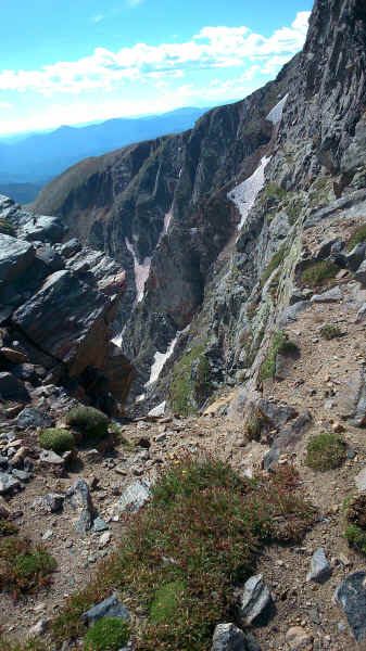
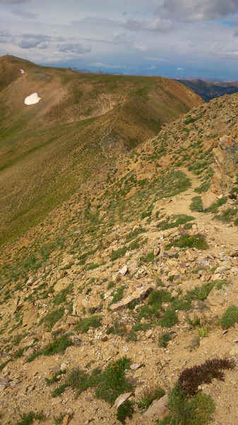
different spot in Silverthorne. View of Rollins Pass View of CDT on the way up to Jones Peak Last winters snow still blocks Jones Pass towards end of August CDT follows the ridge short of Ptarmigan Pass First view of Silverthorne and Dillon Reservoir from near Ptarmigan Pass
<< Steamboat Springs <<
>> Twin Lakes
>> © 2016 by Hamburger
Last updated on
04.12.2022
![]()