E1 Germany Frankfurt - Constance

IVf.10 Section Badener Höhe - Dobel 36,9 km
Badener Höhe
Forbach 12,5 km
Prinzenhütte 5,0 km
Kreuzlehütte 6,0 km
Schweizerkopfhütte 6,5 km
Weithäusleplatz 3,5 km
Dobel 4,4 km
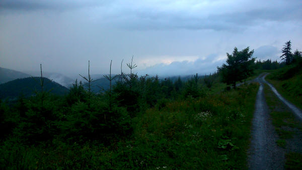
After a restful night and a hearty breakfast I wanted to start. Just before leaving the hostel a strong shower started. I waited until it had finished. While ascending Badener Höhe I soon got into the clouds. There was no vision at the top. I then descended to Forbach. This part of the trail was in a rather bad state. Later the sun started shining. In Forbach I had lunch. At the other side of town it was uphill again. Now the trail was in good shape and I could make up for the time lost in the morning. Here I met a few follow hikers walking in the other direction. Later I was back in the clouds. Towards evening the rain started again. I had to set up my tarp in the rain. It wasn't the best place for the night. Later it stopped raining.
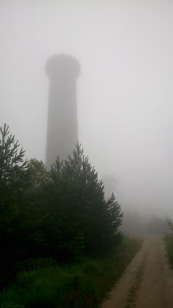
Tower Baden on highest elevation of town of Baden Baden in the clouds
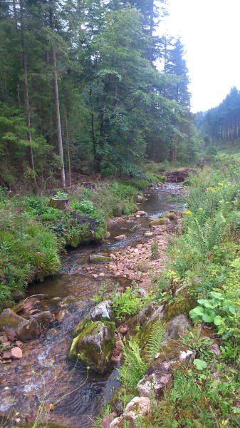
Creek at E1
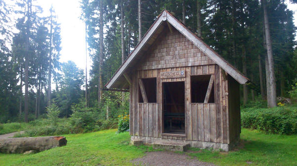
Hut Wegscheidhütte with sleeping options on top floor
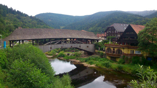
Covered bridge crossing river Murg in Forbach
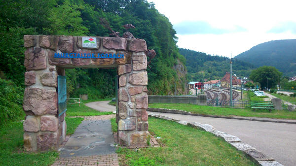
Gate Murgtal of trail Westweg in Forbach
Rain again and again as can be seen by the wet trail
<< Alexanderschanze << >> Pforzheim >>
© 2016 by Hamburger
Last updated on
11.12.2022
![]()