E1 Norway Storlien - Lønsstua

Ic.10 Section Gressåmoen - Kjørskardet 28 km
Over night it had become windy and I had camped above the tree line. So I could hear the wind whenever I woke up. Just like yesterday today became a sunny and hot day. I had to follow my GPS track as there where no markings along the trail. On the fjell there where often no clearly discernible points ahead of me. Therefore I had to check my GPS again and again. I had lunch by Lake Bukvasnet.
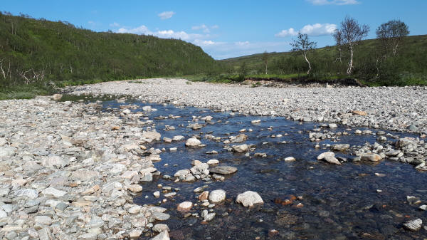
In the afternoon it was a bit downhill to River Alma. Here the trail changes direction and follows the river upstream. I started hiking in the river bed. It consisted out of a lot of round rocks. Walking became difficult. Then I tried it along the shore. This was not much easier just different. It was wet and steep ups and downs crossing side creeks. Finally the GPS track showed me to get away from the river. It had become another long day and was around 9 pm by the time I set up my tarp. A quick dinner and I went to bed. Tomorrow is Saturday and the store I want to re-supply at closes early.
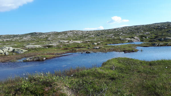
Little lake by the trail on Bukvasfjell
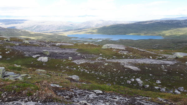
View of lake on barren Bukvasfjell
Single reindier on rocky Bukvasfjell

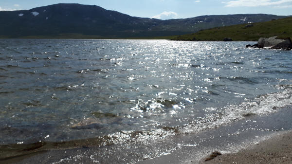
Trail passes by the sandy beach of Lake Bukvatnet
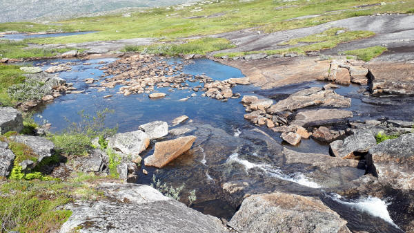
Water source of Lake Bukvatnet to be crossed
I walked for a while in very low running River Alma
© 2018 by Hamburger
Last updated on
15.12.2022
![]()