E1 Norway Tynset - Meråker

Id.3 Section Hodalen - Gråhøgda 26 km
Early I left the DNT-hut in Hodalen and followed the markings along the road through the hamlet. Passing by several farms the marked trail didn't follow my GPS but instead further along a gravel road. Shortly before arriving at the last farm there is a parking space for hikers. Here starts a new and well marked but so far little used trail that reaches the GPS-track after about a kilometer. Along the way the trail had crossed the creek Stora Engåa. Soon after I left the birch forest behind and arrived at Mountain Sigarbekkhøgda. After a while I went down again to Narjordet. Here in an old farmhouse DNT has a shelter. Before arriving I had had dinner in the forest.
In the hamlet there is a side trail in the Valley Rødalen to Sagbrua. Near the closed but passable bridge is an old saw mill. Along seldom used old roads I continued to a dog kernel. Passing farm Brudalslibua the trail leaves the forests again and comes up on the barren fjell. There where a number of cattle in fenced in forest parts. The cow bells could be heard from far away. Across Mountain Kvernskardet I continued uphill. I continued towards Røros and found a place to set up my tarp before arriving in town.
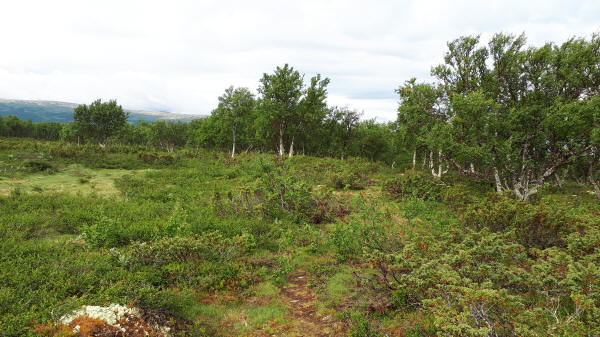
Trail through forest outside of Hodalen
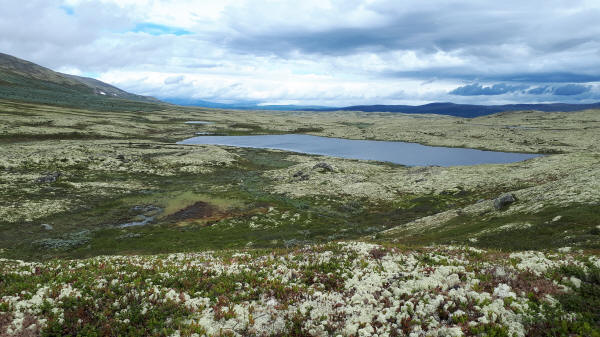
Lake at trail in open Fjell
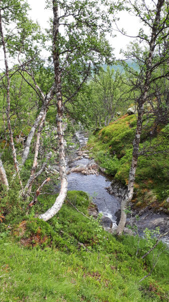
Creek at trail
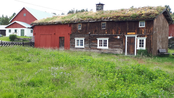
DNT-hut Narjordet
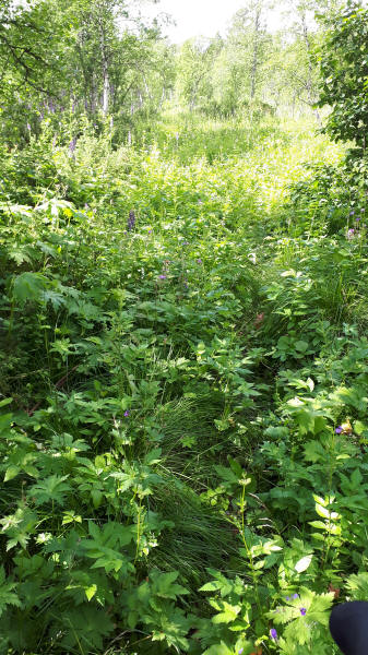
Grown over trail
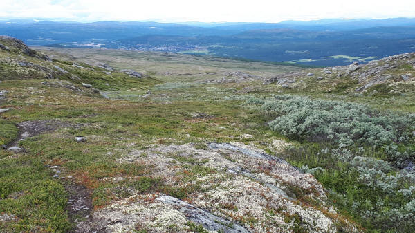
First view of Røros
© 2020 by Hamburger
Last updated on
13.12.2022
![]()