E1 Sweden from Granvik to Sälen

IIb.12 Section Smedjebacken - Idkerberget 40 km
Smedjebacken
Stora Brafall 23 km
Idkerberget 17 km
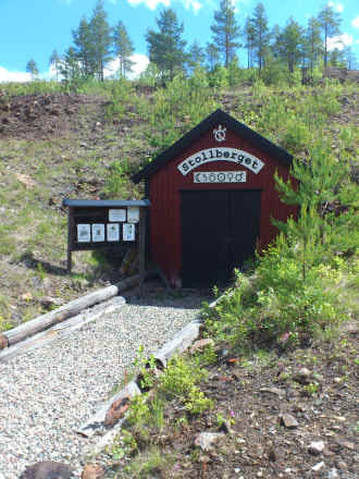
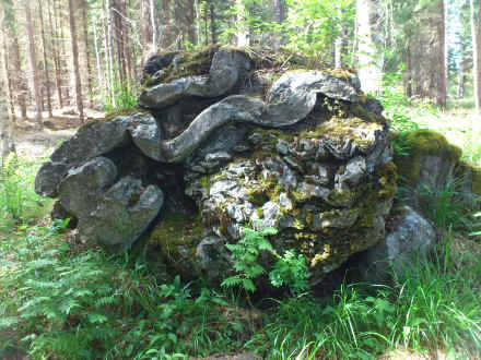
First thing in the morning I walked back on a paved side road to Smedjebacken. Here I resupplied at the local super market for the next few days and had my breakfast too. With help of my map I found today's trail. For most of the day it was gravel roads. Again with almost no path markings. Manually it was marked on the map I had received from the community to be on the road and not across country site. A nice interruption of hiking was Schisshyttan. Once there was a big mine here. The deep holes are clearly visible. A observation tower gives a good view of the country side and the shafts. Slightly of trail at it's northern end the rather interesting Brafallsstenen. Following a rather challenging cross country stretch I arrived at Tuna-Hästberg. My plan was to continue to Spansfäbodarna. Start of this trail was not marked and non of the locals could give me any help. Finally a driver told me I could go there only via Idkerberget. Well, may be that is correct for cars. But due to non availability of any suitable alternative I had to walk along the paved road to Idkerberget. In the evenings twilight I asked at the first farm house whether I could camp aat their meadow. The conversation was done with plenty of hand signs. It worked and could get fresh water from inside the staples.
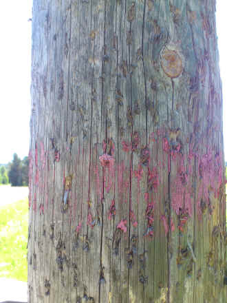
One of Smeleden's better markings; often nothing was visible. North of Smedjebacken it was better then south of town.
Former mine shafts at Schisshyttan
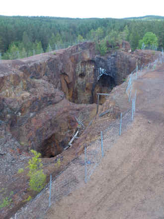
Mine shaft directly on E1 in Schisshyttan
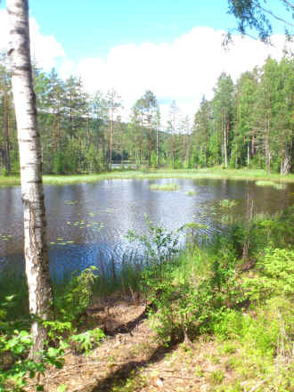
Lake
Brafallsstenen
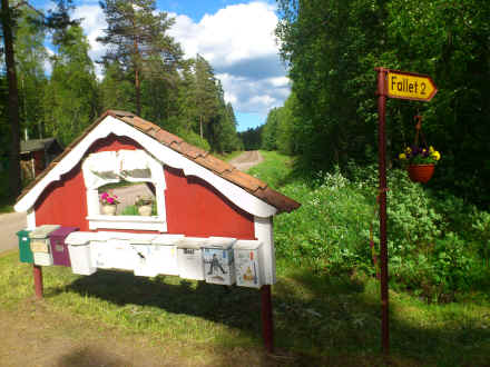
Letter boxes
© 2016 by Hamburger
Last updated on
11.12.2022
![]()