E1 Norway Umbukta - Abisko

Ib.15 Section Hukejaure - Singi Fjellstuga 32 km
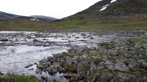
I woke up in the clouds. Short breaks allowed me to have a look at Lake Kaisejaure. Short of Hukejaure Fjellstuga I saw a hand painted sign for Singi Fjellstuga. I followed this sign. Until arriving at Nordkalottleden it turned out to be an adventure. The trail was totally insufficient marked and I had not GPS-track. Occasionally I saw a marking. In between markings I had to rely on my map. A few times a had to go back and take a different direction. Finally I arrived at a wide river. Here I had to put on my tracks for the last time and had to wade slowly to the other shore. There was a pictogram stating that the river must be forded. Now I had arrived on Nordkalottleden. In the beginning it was not much more than markings. Towards its end it became more and more a real trail. The River Tjäktjajokk is crossed on a bridge before I arrived at Kungsleden.
The previous year I had hiked up to here coming from North Cape. Now I followed Kungsleden until Singi Fjellstuga. This hut is slightly outside of the Sami village Singi. Kungsleden was like the part coming from Abisko rather rocky and well trotted. I staid for the night at Singi Fjellstuga.
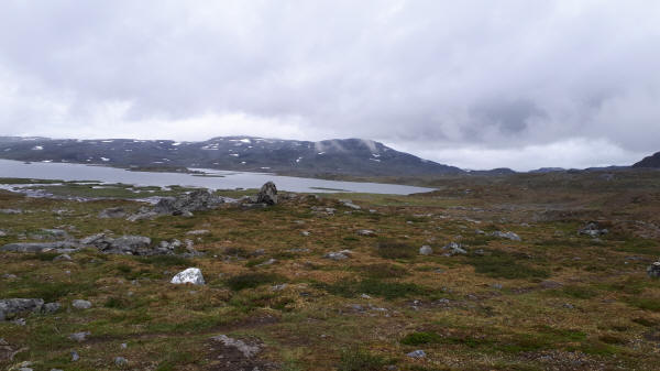
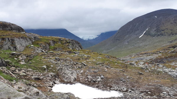
Low hanging clouds along trail in the morning
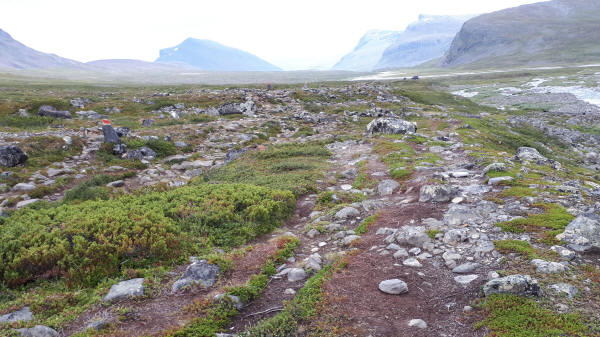
Rocky with hardly any markings and no tread
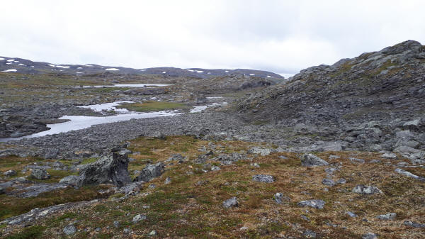
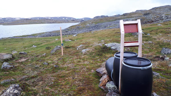
Photo trap
Last bridgeless river I had to ford
First view of Mountain Kebnekaise
Wide and rocky Kungsleden
© 2020 by Hamburger
Last updated on
13.12.2022
![]()