E1 Norway Lønsstua - Storlien

Ic.13 Section Nesåpiggen - Skorovashytta 17 km
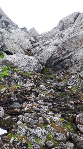
The day started in the clouds. They where soon blown away and it became another hot and sunny day. As there continued to be no trail it was difficult hiking. First part was through a narrow long gap. Rocks had fallen down from both sides requiring a rock scramble again and again. After quite some time I finally reached the point where I could look far ahead into the country and started my slow downhill climb. It was rocky with many wet stretches in between.
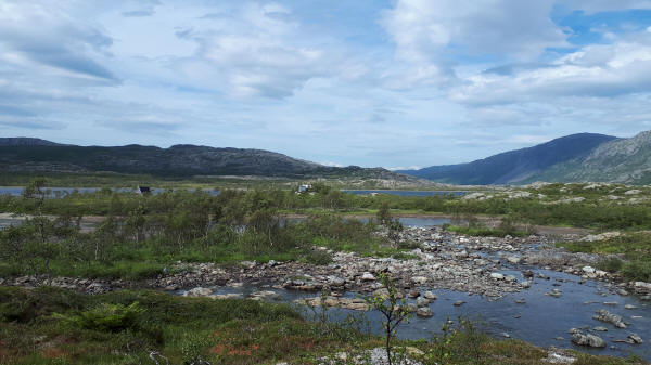
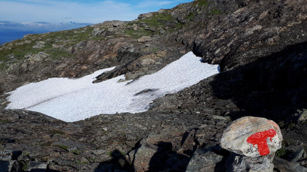
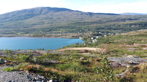
Towards lunch I had the first glimpse of Midtre-Nesøvatnet shelter. Getting there required crossing one of the rivers feeding Lake Midtre-Nesøvatnet. Luckily there was a suspension bridge across allowing one hiker at the time across. The shelter was slightly off the trail. I was nosy and wanted to see it. The main hut was locked. I set down by the lake and had my lunch. Then I was pleasantly surprised. From here on not only markings but a real trail existed. It became nice walking. I even encountered a sign post at Kroktjønna which is at 559 m elevation. It was already late in the afternoon and I had 8 km left for the day. The trail continued to be well done and I crossed a small snow field. Shortly before getting into the village of Skorovatn I met a National Park Ranger with his dog. He was out for a few days hiking and gave me some tips for the days ahead. The final stretch was along a gravel road until arriving at the DNT shelter.
At the shelter I met two Norwegian ladies who where staying here for vacation and doing day hikes. The shelter has a food store and being in a former mining town running water with a shower. That was a welcome amenity.
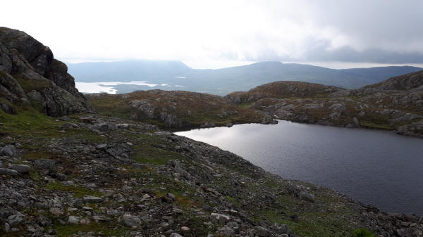
Pond on Mountain Nesåpiggen I staid at last night
E1 follows this rocky gap on Mountain Nesåpiggen
Shelter with Lake Midtre Nesøvatnet in background
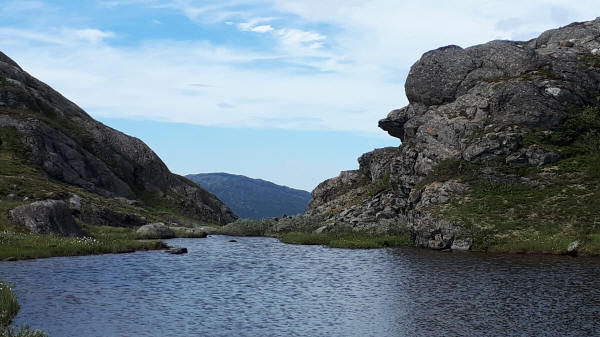
E1 passes by the small lake
Trail crosses this small snow field on Grufjellet
View of Skorovas at Lake Skorovatn from descending trail
