E6 Germany Lauenburg (Elbe) - ...

IIc.3 Zernien - Schnega 39 km
Zernien
Hohenvolkfien 10,0 km
Reddereitz 6,0 km
Clenze 9,0 km
Schnega 12,0 km
Schnega-Station 2,0 km
Very early at four thirty I got up to arrive in Schnega at first daylight. In Uelzen I had to change trains which just about worked out as my train from Hamburg was late. The section I hiked differently from the previous ones coming from the south. When arriving at Schnega-Station it had just become light enough for me to start my hike. Along a paved road I walked to Schnega where I reached the E6. Following the trail I went on a round cobble stone road to the Oldendorf Water Mill at Schnega Mill Creek. On I moved across many fields and again and again through forests to Reddereitz. At a little pond behind the hotel I took a brake sitting on a bench in the hazy sunshine. From now on it was mostly forest and very few fields.
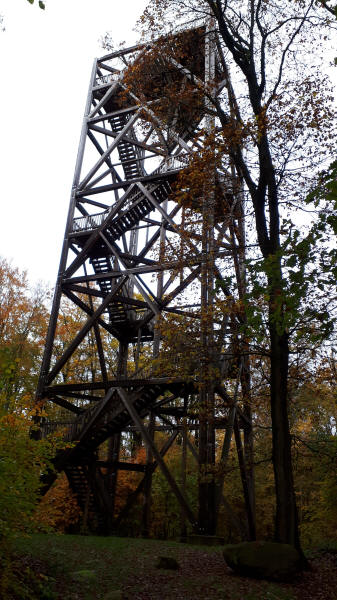
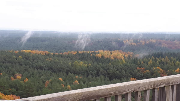
I arrived at Mountain Hoher Mechthin in the early afternoon. There is tall observation tower on this 142 m high mountain. From the top I had a great view in all directions. As it was a hazy day I could not as far as is possible. Back down on the ground I stopped for another snack at the nearby hut. Finally I walked to the not far away community of Zernien. Early in the morning and now late afternoon I had seen deer. In Zernien I spend my waiting time for the Call Bus in a bakery. Later I had to wait in Dannenberg for the evening train to Lüneburg.
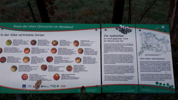
E6 follows a short stretch of "Apfelallee" (Apple Road)
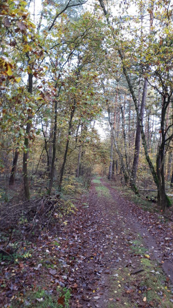
E6 near Quartzau
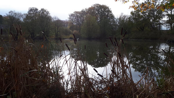
Pond in Reddereitz with hazy sun
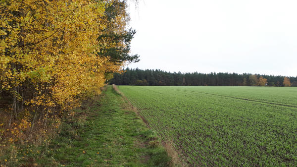
Fall poplars at E6 with winter grain
Observation tower on top of Mountain Hoher Mechthin (142 m)
Hazy view from Mountain Hoher Mechthin
