Norge på langs

2 Section Brydalen - Alvdal 26 km
Brydalen
Tylldalen 14,0 km
Överby 2,0 km
Allmanstua 3,0 km
Alvdal 7,0 km
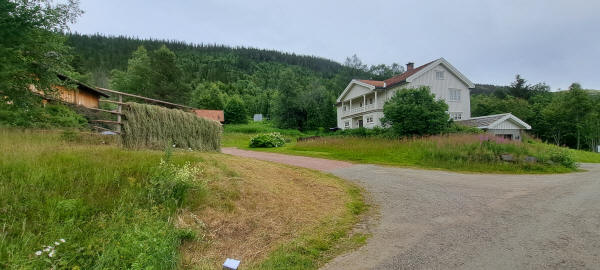
According to my map I had the option of going back for a bit and then taking a long way around to continue forward or trying to get through the forest for a couple of kilometers. It turned out to be much easier. There was the "Gamle Brydalsvei" which made it an easy hike to the next gravel road. There was little wind and on and off a little drizzle all day. Only towards evening did it become sunny. I followed this road towards Tylldalen. To get down into the community I had to leave the road and follow a well marked path downhill. Then I passed by a house where gras was dryed the old way on racks.
Having reached the bottom of the valley it was soon uphill again. At first a gravel road and then well marked but partly overgrown trails took me to the winter only shelter Almannstua. As this is a skying area they only care that the trails can be used in winter for skying and not so much for hiking in summer. Here I had a limited view out of the forest. All day long I had met no other hiker. Finally I arrived in the town Alvdal. Here I staid for the night at Sandi. For dinner I walked to a near by Thai diner which had some really nice food for relative good prices. Today was Sunday preventing me from re-supplying. I had to wait for Monday morning.
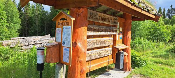
Singpost in Brydalen
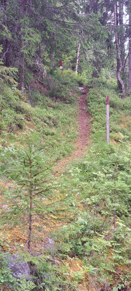
Trail near Tylldalen
Drying gras the old way along the trail at Tylldalen
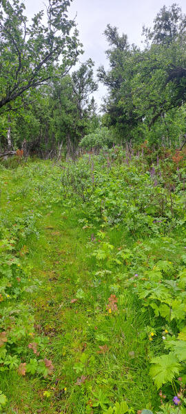
Grassy trail near Hokstadkjølen
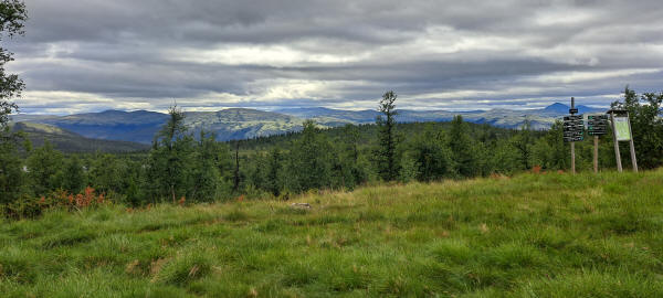
View from outside Allmanstua which is only open in Winter
<< Hodalen << >> Korsberghytta >>
© 2022 by Hamburger
Last updated on
01.02.2023
![]()