Norge på langs

10 Section Oskampen - Sikissdalsseter 11 km
Oskampen
Sikissdalsseter 11,0 km
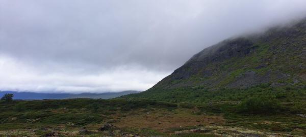
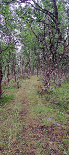
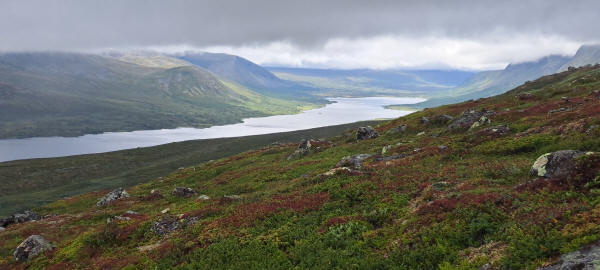
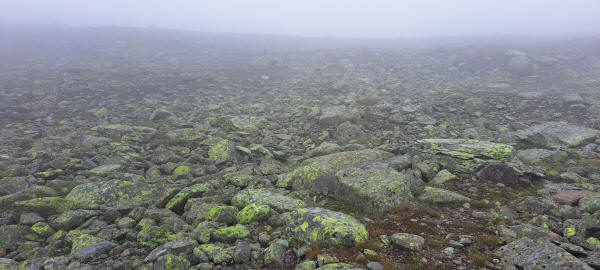
It was raining in the morning. Once it stopped I started rather late hiking. The first part took me along the slopes of Mountain Oskampen. Here I hiked partly in a forest. At Nedre Heimdalen I crossed the River Hinøgla. As it had started raining again I took cover at one of the houses and put on my rain gear. Now followed a 2 hour long climb up almost to the top of Mountain Vangstulkampen. It had dried up later again but the climb was rather steep and rocky. Higher up I came into the clouds. Here I was happy that the cairns where not spaced very far apart. Otherwise it would have become difficult.
Hiking down the other side to Sikissdalsseter I met a bothanist. She was documenting the plants on GPS dedicated one m² lots to determine the changing upper limit of specific plants due to climate change. The same lots had been documented twice in the past and showed a clear upward trend with rising temperatures. I staid for the night at Sikissdalsseter where I had a very nice dinner.
The trail follows the foot of Mountain Oskampen
Trail through forest at base of Mountain Oskampen
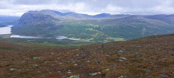
View of Lake Nedre Heimdalsvatnet from the slope of Mountain Vangstulkampen
In the clouds on top of Mountain Vangstulkampen
View from Mountain Vanstulkampen into Valley Sikkisdalen
<< Dalseter << >> Gjendesheim >>
